

Pin
Xingyuan Planning and Surveying Qualification: Additional Items Added, License Renewed
Xingyuan Planning has completed the expansion and renewal of its surveying qualifications, further strengthening its professional advantages.
Dynamic Info
Xingyuan Planning has completed the expansion and renewal of its surveying qualifications, further strengthening its professional advantages.
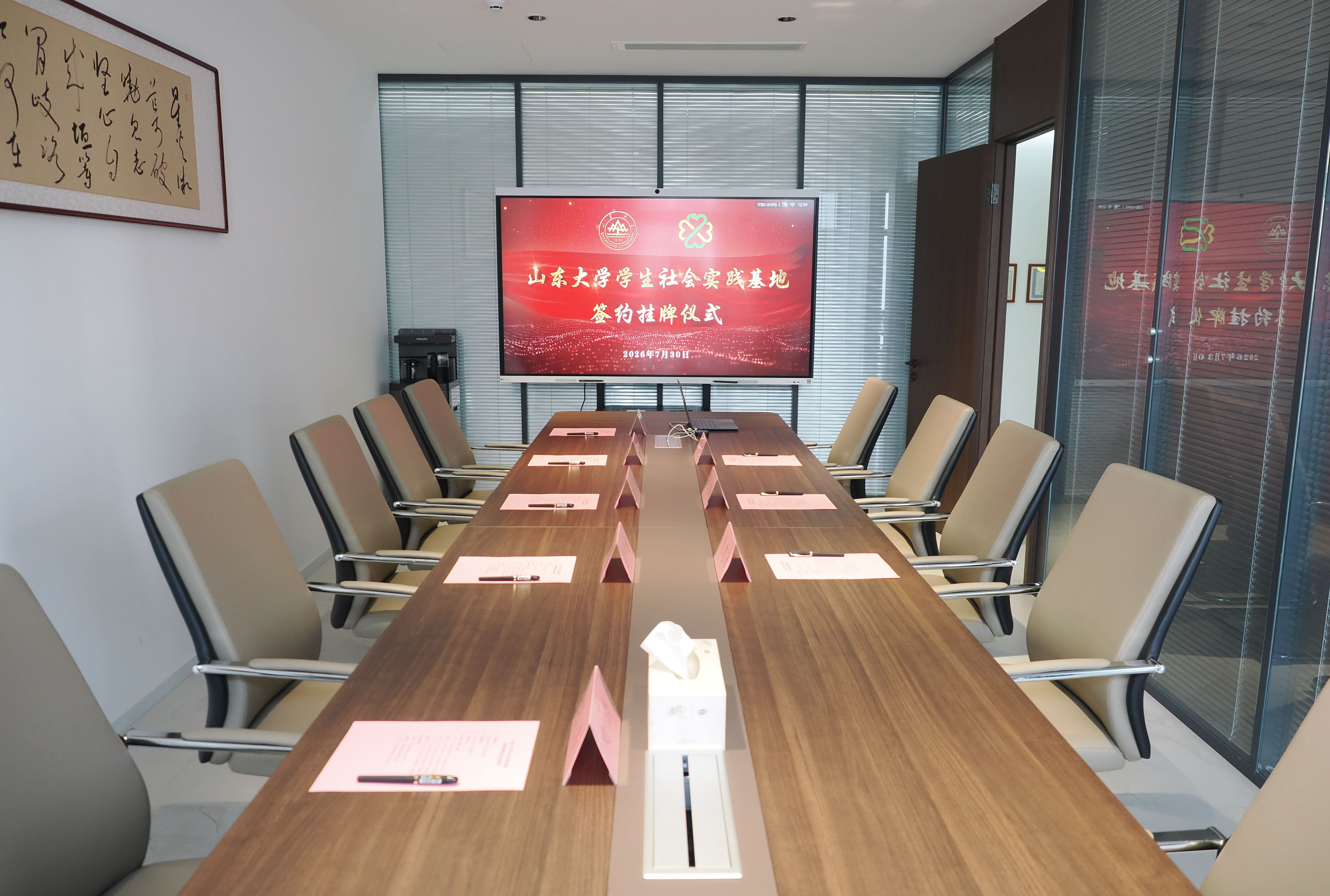
Deepen School-Enterprise Collaboration for Mutual Empowerment and Shared Growth

Group subsidiary Xingyuan Approved for Grade B Surveying and Mapping Qualification, Launching New Chapter in Surveying Business

Comprehensively study the business workflows, requirements, and technical standards for supplementary arable land quality evaluation and acceptance within agricultural and rural departments, and identify key challenges and critical points.

The Ministry of Natural Resources and the National Forestry and Grassland Administration jointly issued a directive to eliminate centralized surveys and establish an all-year-round routine monitoring mechanism. Leveraging the "One Map" of territorial spatial planning, the directive coordinates dynamic monitoring of various resources and clarifies work requirements.

Technical Specifications for Annual Land and Resources Change Survey

"CH/T 1004-2005 Surveying and Mapping Technical Design Specifications"

Industry Technical Standards for National Basic Scale Map Symbols

Shandong Province Unveils "15th Five-Year Plan" for High-Quality Development of Surveying, Mapping, and Geographic Information

Major adjustments to arable land protection policies; the "large-scale occupation and compensation" framework is taking shape.

Summary and analysis of key initiatives and operational performance for Group in Q2026

The Group formulates the 2026 work plan and deploys key tasks.
![Notice on Further Strengthening the Support of Natural Resource Elements (Natural Resources Development [Year 2026] No. 38)](https://baas-api.wanwang.xin/toc/image/preview/green-energy-solar-panels-industrial-park-rooftop.jpg?w=800&h=500)
Ministry of Natural Resources and National Forestry and Grassland Administration Jointly Release Policies to Support Natural Resource Elements

Designed for daily decision-making and management across the Group and its subsidiaries. All compiled policies have undergone democratic consultation and public notice procedures, rendering them legally binding.

Enhance internal management structure and governance system through open position selection.
Standardize the criteria for adding cultivated land to the database and clarify requirements for reviewing indicator submissions.
Systematically learn and reinforce technical content related to land change surveys and forestry, grassland, wetland, and barren land monitoring. Gain deeper insight into the latest business policies and standards.

Group holds symposium on team building work report for 2025 year